DJI Terra v3.9.0 is a new update with some new features and improvements. In this article we provide you with the official patch notes and hints for the update.
What’s new?
- Supports processing of data collected by Zenmuse L2.
- Supports enabling PPK calculation function (only supports data collected by Zenmuse L2 in mainland China).
- Supports calibration of Zenmuse L2. The Zenmuse L1 calibration option has been updated to LiDAR calibration. LiDAR calibration can be used to calibrate both Zenmuse L1 and L2.
- Supports import of height control points for LiDAR point cloud reconstruction mission. Accuracy check has been updated to Accuracy control and check.
- Supports export of XML files with anchor points and images with POS data for visible light reconstruction mission. The XML files can be imported into third-party software for 2D/3D reconstruction.
- DJI Terra Quality Report for LiDAR point cloud processing is available in a new version and supports the output of flight parameters, IMU Trajectory Error, Check Point RMSE, and other parameters.
What has been updated?
- The Smooth Point Cloud function has been optimised. Point cloud density becomes about 1/3 of version v3.8 after enabling this feature.
What has been fixed
- Fixed an issue where the reconstruction effect is poor or an error message (1005) is displayed
- if image data from several cameras or in different resolutions are present in a folder
- because the camera parameters were not configured by the user.
- Fixed an issue where the annotation and measurement function was not available when there is no output for the LiDAR point cloud reconstruction mission on DJI Terra v3.8.
Annotations
- Reconstruction results obtained with the Seven Parameter Transform function and coordinate systems of newly supported countries on v3.5.0 or later versions may not be displayed correctly, and the Annotations and Measurements function is not available on v3.4.4 or earlier versions.
- For DJI Terra v3.8 and later versions, if you use the free trial license from the official website and perform paid functions in LiDAR point cloud reconstruction, the maximum size of imported files cannot exceed 8 GB.
- For DJI Terra v3.9 and later versions, users must use a computing device with NVIDIA graphics card to obtain the licence.
- The PPK calculation function for LiDAR point cloud missions is only available when the unit is connected to the network. Perform the PPK calculation within 3 months of data acquisition.
- When importing height control points for LiDAR point cloud missions, the output coordinate system and vertical coordinate system must be set to default.
- When exporting aerotriangulation anchor points (exported XML files with full (exported XML files with full aerotriangulation information) for visible light reconstruction, the data can be exported to a local coordinate system (such as Local ENU) or a projected coordinate system (such as WGS84 UTM Zone 49N).
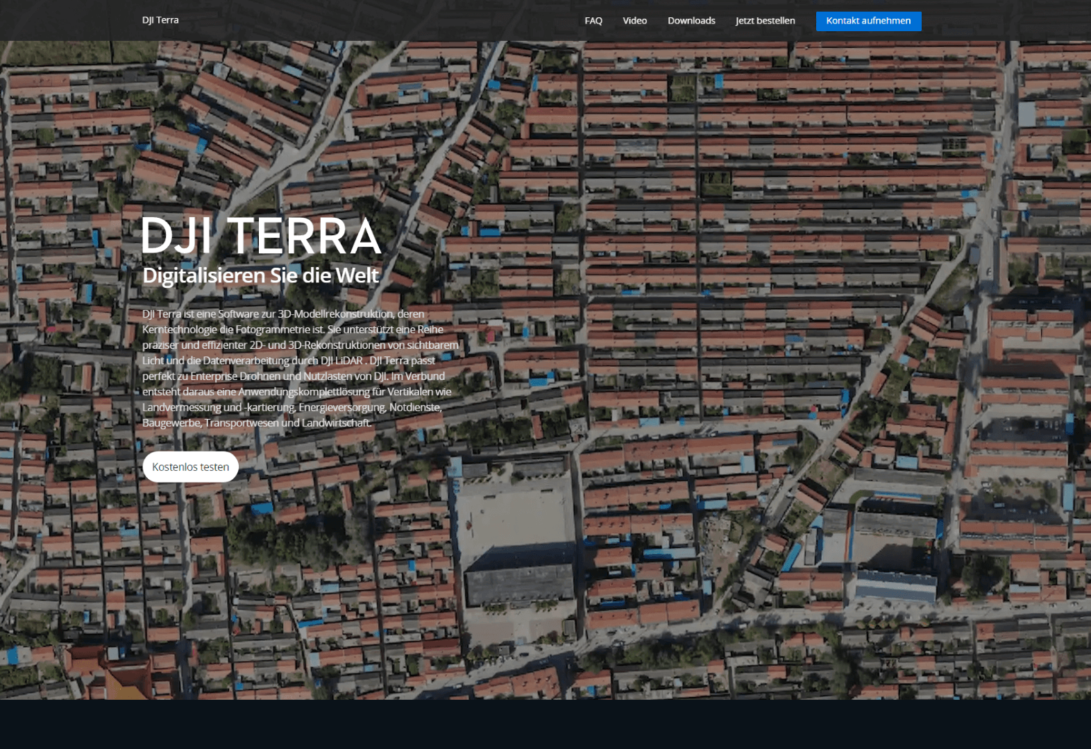
More details about DJI Terra and a request form for a trial version of the software are available on the official website.


Bisher keine Antworten.
Lade neue Antworten
Nimm an der gesamten Diskussion im Drohnen Forum teil →